Providing Service Beyond the Sale, and Expertise Rooted in Decades of Farming Experience.
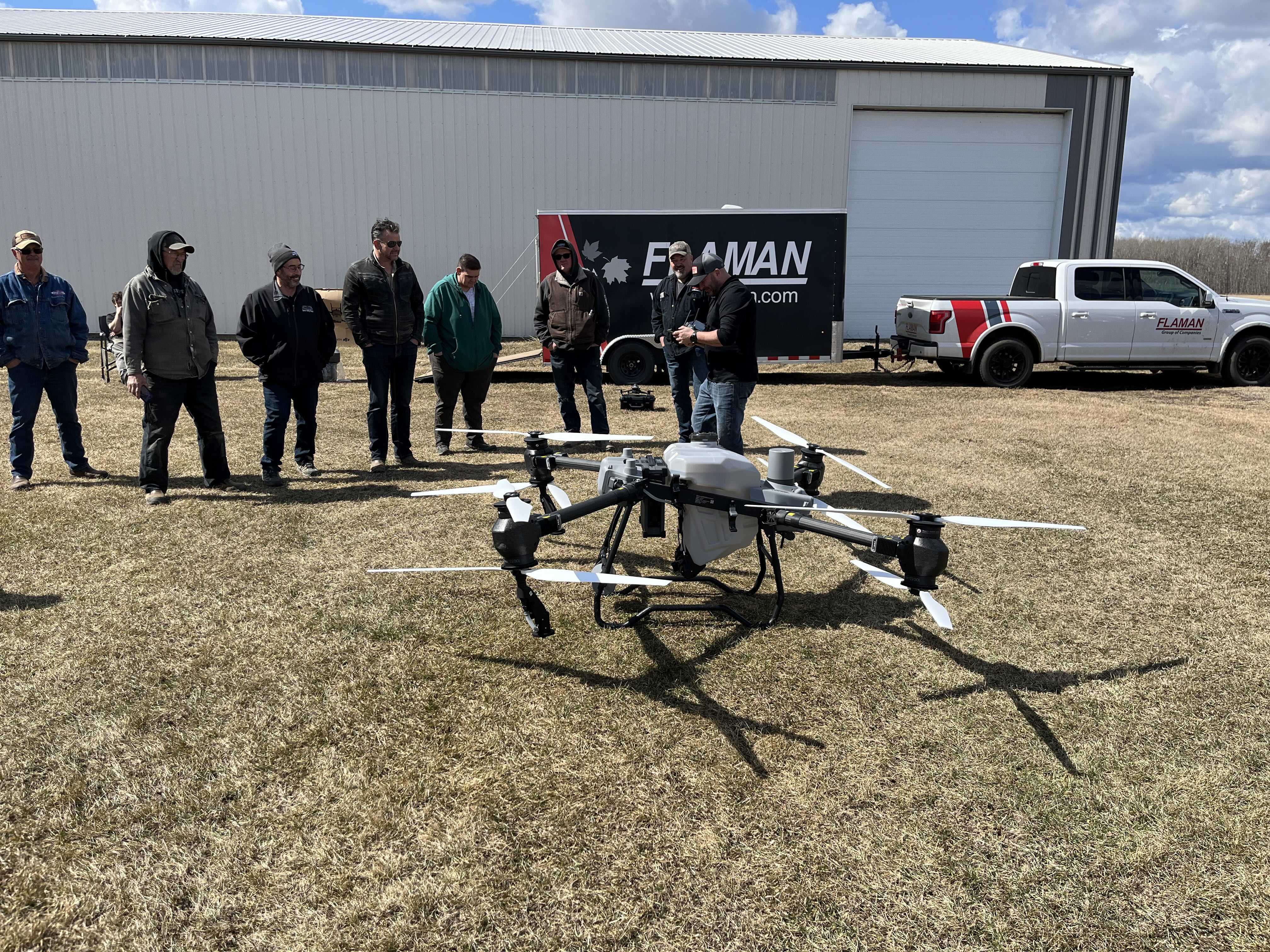
Supplying agricultural drone solutions to the Grassland area with Rocky Mountain Drones and DJI Agriculture.
Featured Products
Increase farm efficiency with drones that spray, map, and monitor crops faster and more precisely than traditional methods.
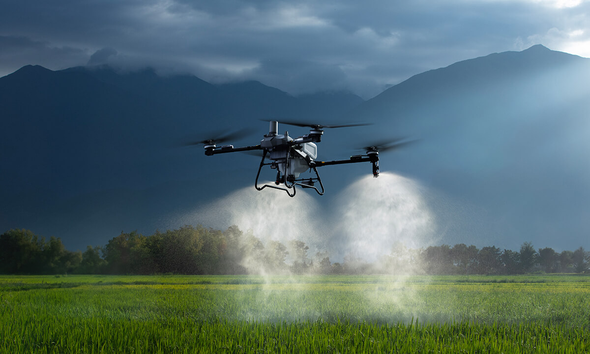
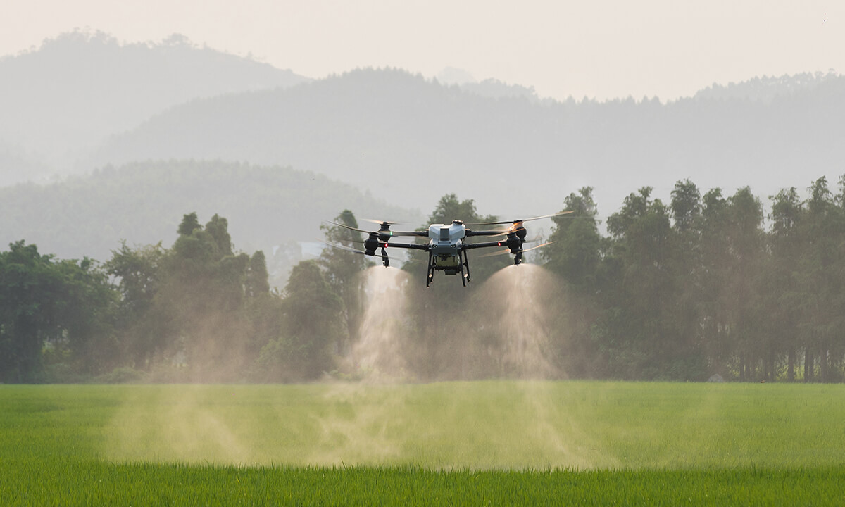
The Agras T100 is DJI’s next-generation, heavy-lift agricultural drone built for high-efficiency crop protection and field treatment. With a large tank capacity and advanced automated flight systems, it can cover acres faster while maintaining precise application of liquids or granular materials.
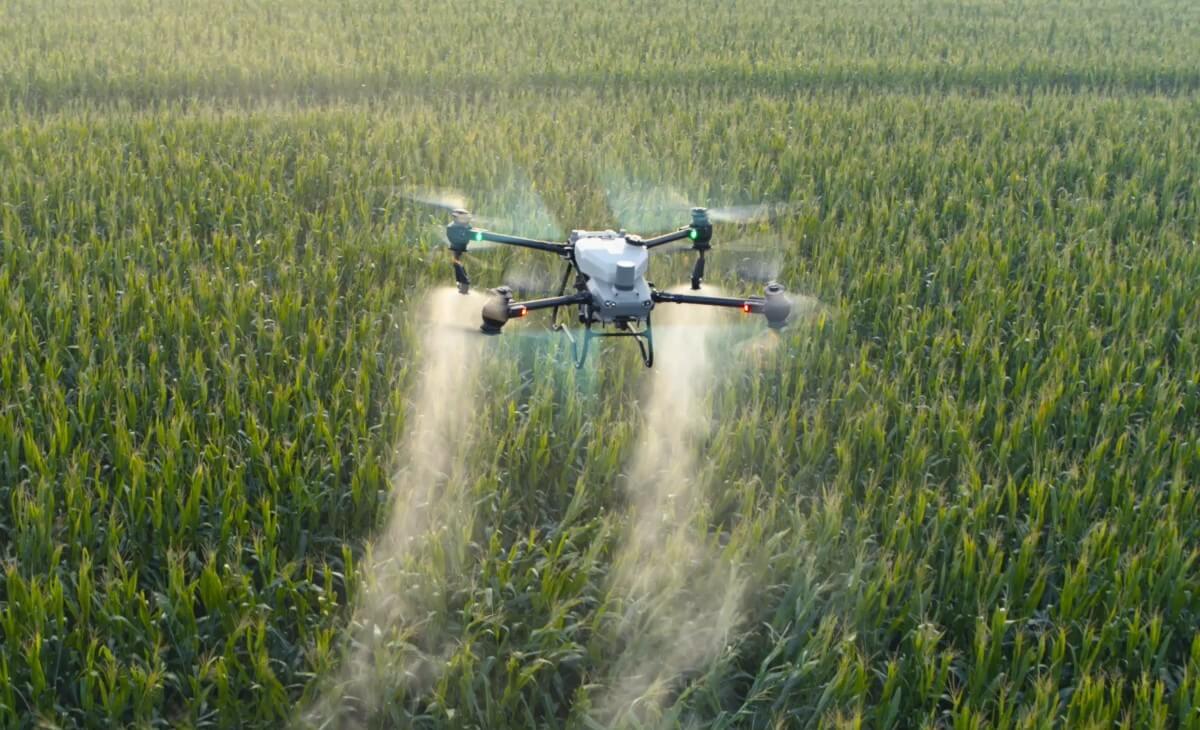
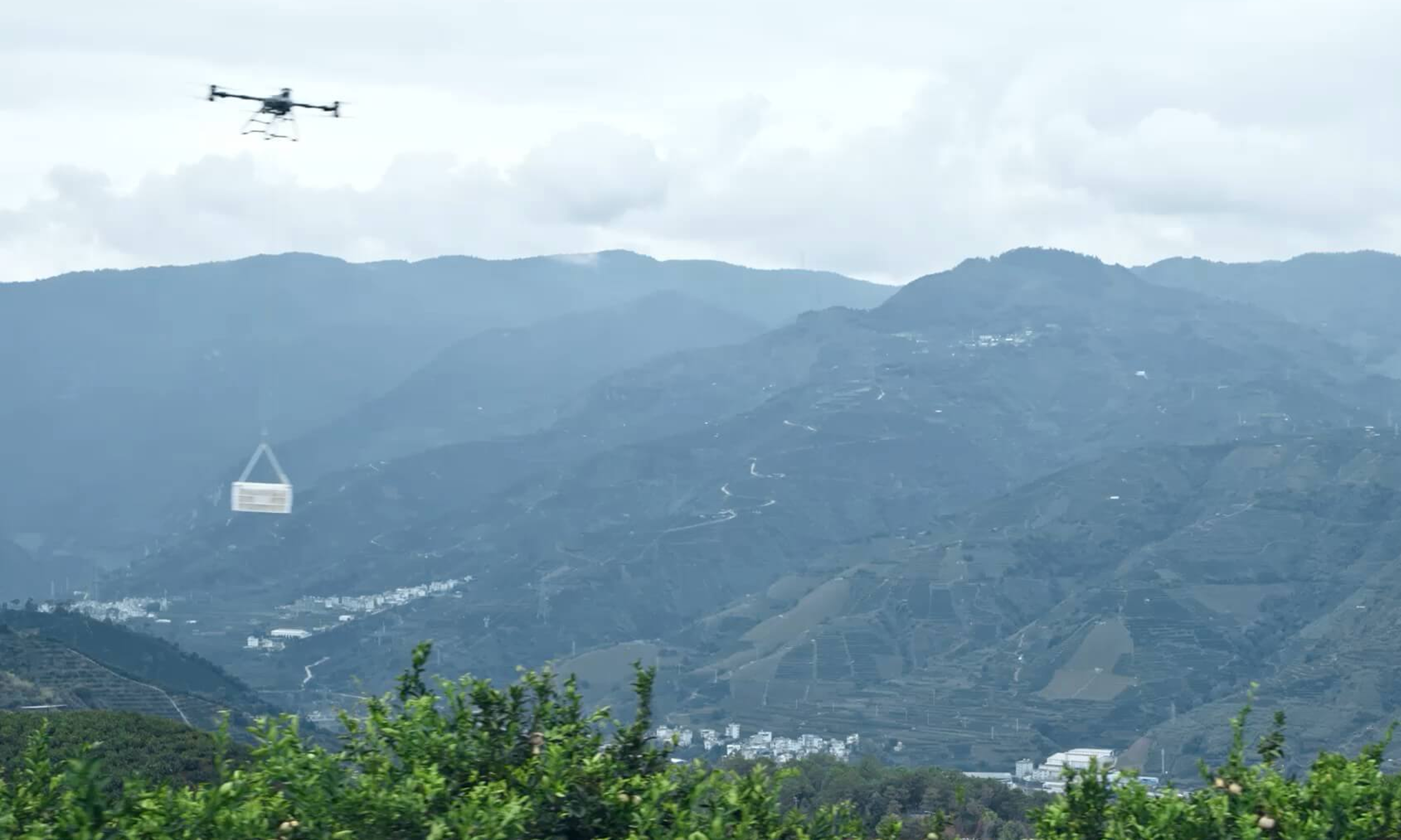
A high-capacity agricultural spraying and spreading drone designed for large-scale farming operations. The Agras T50 features a coaxial twin-rotor design capable of carrying heavy payloads for crop spraying or granular spreading. Its advanced radar and vision systems enable stable flight and terrain following in complex farm environments.

A compact multispectral mapping drone designed for precise agriculture and crop analysis. Equipped with RGB and multispectral cameras, plus RTK positioning, the Mavic 3M captures detailed plant health data that helps farmers monitor crop growth, detect stress, and create variable-rate treatment maps.

The Matrice 4T is an enterprise drone equipped with advanced imaging sensors, including thermal and zoom cameras. Built for inspection, mapping, and monitoring missions, it provides reliable aerial data collection for agriculture, infrastructure inspection, and public safety operations.
Agricultural Applications
Improve efficiency in the field with drone technology built for modern farming. Spray, monitor, and analyze crops with precision to reduce input waste, saving time, and helping you make better decisions throughout the growing season.
Crop Health Monitoring
Field Mapping & Surveying
Field Mapping & Surveying
Create high-resolution field maps for planning and precision agriculture.
Fertilizer Spreading
Apply granular products evenly across targeted areas to boost soil nutrients without waste.
Pesticide & Fungicide Spraying
Deliver accurate coverage over crops, including in hard-to-reach or sensitive areas.
Seeding Cover Crops
Distribute seed quickly across fields to improve soil health and reduce erosion.
Stand Counts & Emergence Checks
Assess how well crops have emerged and make informed replanting decisions.
Industrial Applications
Streamline operations with drones that deliver fast inspections, real-time monitoring, and safer data collection. Reduce manual labour and downtime while gaining the insights you need to manage complex job sites more efficiently.
Structural Inspections
Quickly assess roofs, towers, tanks, and other elevated structures without ladders or lifts.
Thermal Imaging & Diagnostics
Detects heat loss, electrical faults, or mechanical issues using thermal sensors.
Progress Documentation
Capture consistent aerial views to track construction milestones and share updates with stakeholders.
Inventory & Stockpile Monitoring
Measure material volumes and track inventory across large yards or remote sites.
Perimeter Security Checks
Conduct rapid sweeps of fences, gates, and property lines for breaches or hazards.
Drainage & Grading Assessments
Monitor ground elevation and water flow to plan site grading or mitigate pooling.
Get in Touch
Curious how drones can improve efficiency in your fields? Contact us today to learn more about our agricultural drone solutions and schedule a free demo with our team.